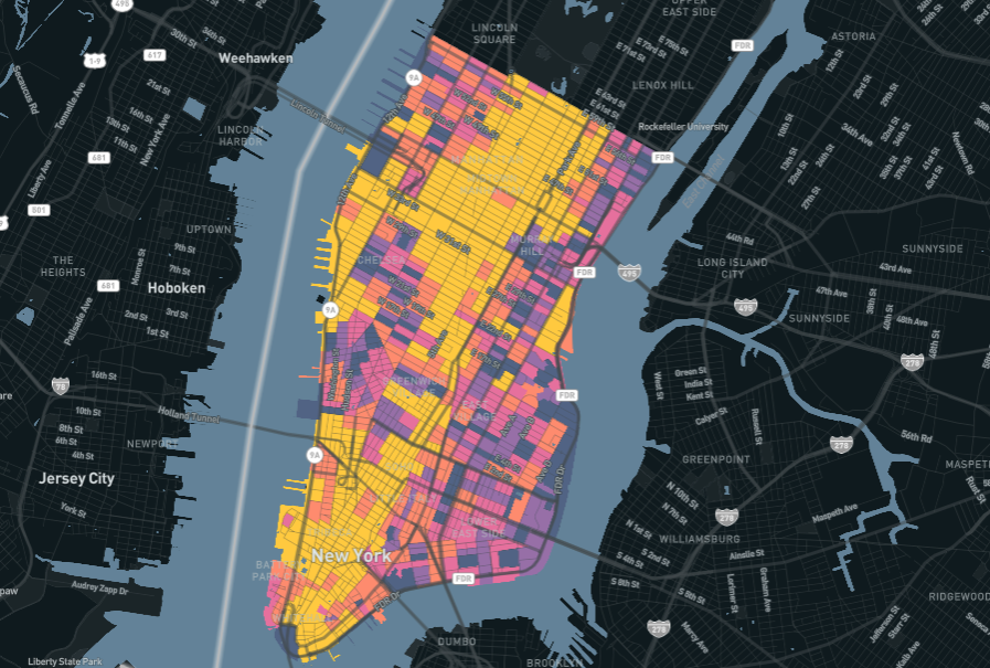
This past January, Santa Barbara County Association of Governments released a report titled Understanding Regional Travel Patterns to provide “decision-makers and the public with reliable and informative statistics and trends information related to transportation, land use, people, mobility, the economy, and social equity.” The report primarily depended on Replica data to paint a holistic picture of where and how people move into, out of, and within Santa Barbara County.
We conducted the following interview with Mike Becker, Director of Planning, who was a leader on the project team. Our conversation, edited for length and clarity, is below.
Thanks for joining us, Mike. Can we start by you telling us a little bit about SBCAG and your role?
Sure. My name's Mike Becker. I'm the Director of Planning at Santa Barbara County Association of Governments. We are a small, single-county Metropolitan Planning Organization with a staff of about 20. We have the responsibility to a develop a long-range regional transportation plan, but as part of California, we also conduct the regional housing needs allocation process, among other responsibilities.
Before we dive into the report, can you talk about what issues related to your work seem to be at the top of everyone’s mind right now?
In Santa Barbara County we have a very significant jobs-housing imbalance. The southern region is “jobs rich” and “housing poor,” in contrast to the northern region, which has a surplus of housing compared to the number of jobs. This imbalance particularly affects southern Santa Barbara, leading to an influx of long-distance commuters. And that's related to the high cost of housing and its scarcity. Addressing the housing imbalance is a crucial aspect to our transportation planning as it directly impacts our ability to meet state-mandated goals for reducing greenhouse gas emissions. Our planning efforts are thus increasingly directed to bridge this gap in southern Santa Barbara County.
Interestingly, using Replica data, we’ve taken this commute analysis one step further by breaking down the workforce by commute trip distance, and calculating vehicle miles traveled, or VMT, to each of these groups.
For southern Santa Barbara, it’s really interesting. It turns out that the 20% of the population with the longest commute accounts for something like 75% of the VMT, which really illustrates the problem.

Wow, that’s striking.
Through Senate Bill 375, which was passed in 2008, California challenges regions to reduce greenhouse gas emissions from light-duty vehicles. And for us, that's directly related to the jobs-housing imbalance. There's no way we can reduce greenhouse gas emissions without first addressing the jobs-housing imbalance.
Which brings us to the report. What was the genesis of this initiative?
It’s become a bit of a tradition for us to publish, every year or two — depending on workload — a specialized report. Our goal is to really hone in on a pressing issue for the region that needs a closer look, and ultimately, to help inform local decision making.
But as a planner, you always hear of these big data platforms, and they are exciting. And so, we said, well, let's get a subscription to one of these platforms and see where it takes us and see what we can get out of it.

That's why I've often described this project as a mining exercise. We're going to take this platform. We're going to dig through it and pull out everything that's valuable and just document it.
So it was a really exciting project. It's what makes being a transportation planner fun. You have so many questions that have come up throughout your years of work — what's the population and commute from here to there, or something like that — that are never easily answered. The census gives you ways to crudely answer them, but it's imperfect and not easy.
But with Replica, you get a one-stop-shop of being able to answer all these questions that have been nagging you.
Before we get to some of those questions and the answers and implications for Santa Barbara, I'd love to talk a little bit about the process of selecting a data vendor. What was SBCAG looking for?
We knew we wanted a data platform. One of the things we emphasized in the Request for Proposals was to give consideration for all the jurisdictions within Santa Barbara to get access to the data, too. Ultimately, one of the reasons we went with Replica was because they offered a full year’s subscription to SBCAG and all of local jurisdictions. And that created a lot of value.
Originally we thought we were only going to get two proposals, but we ended up getting four or five which was great. But in the end, Replica was the best value considering the capabilities, the cost, and the ability for our partners to use it as well.
We’re really happy to hear that. Once you got into the Replica and started the work, can you share what you liked about the platform?
Well, first of all, Emily [SBCAG’s customer success manager] has been terrific. . Honestly, though, the whole team has been extremely helpful in walking us through the early stages.
And for myself, because of the way that my brain's wired, I think of the Replica data as basically a massive spreadsheet in the background. With the interface that you're using, all you're doing is applying filters, which are essentially queries, which keep narrowing that data down to get you exactly where you want to go.
Once you have that basic level of understanding, it's easy to use.
But with Replica, you get a one-stop-shop of being able to answer all these questions that have been nagging you.
Any suggestions for the platform?
Well, we’d love a "NOT" filter.
We’re on it. Now what about the results of the report? Anything particularly insightful or surprising?
Well, you can see this in the report but so much of it is related to the jobs-housing imbalance I mentioned earlier. Probably about 50% of the report covers the journey to work and illustrates the issues this type of travel is creating.
There’s also been a lot of interest in the demographic shift of Santa Barbara, toward an older population. I think this creates a much bigger problem than what people may realize, and this is something that was picked up in the news about the report. The 50+ segment is experiencing a significant growth spurt, while those aged 30 to 49 is in a noticeable decline. That has economic consequences, housing consequences, transportation consequences. All these things are going to challenge us in the future, but just being able to clearly see it with the data and the report, it’s eye-opening.
What was the overall reaction to the report?
Well, the response exceeded our expectations. Public interest spiked as several local news outlets published articles and analyses, sparking widespread conversations in the region. We wrote an article on the report’s release on our website which became a focal point, the second most visited page on our site, trailing only behind our homepage. The enthusiasm with which the public has engaged with our report clearly shows that there's a widespread desire to understand how local travel habits are changing and what those changes mean for Santa Barbara's future.This is an exciting development, and our team is eager to continue exploring these trends and their significance.
What comes next? Are you going to create a similar report on a regular cadence?
We are a small planning team and have lots of responsibilities. But one thing we have been talking about is creating a dashboard on our website where we track a number of indicators and update them as Replica data is released.
Do you have other plans for using Replica?
Well time will tell, but I really do think there is some level of value that Replica could bring to just about every project that we undertake.
For instance, we even had a small project where we were just making some intersection improvements and were conducting public outreach. With Replica, you can really dive into the links and see where people are coming from, and going to, and craft outreach appropriately.
Not to mention, when we used the data to look at the intersection, we saw the proportion of commercial vehicles was significantly high. This steered us toward prioritizing conversations with major agricultural firms and those involved in shipping and growing.
Any parting thoughts?
One of the things we talk about all the time is how we can use Replica to tell stories. In the public sector particularly, it’s the compelling storytelling of how changes impact lives that propels action. Consider the insightful data we talked about early on vehicle miles traveled (VMT) by a small community segment, for example. Replica’s data helps us vividly detail a story and spotlight specific elements at play and how they ripple through the broader community. That’s the type of thing Replica can help us really show.


.jpg)